Climate Risk and Vulnerability Assessment

URBAN Resilience
IUCN
Department of Water Resources
ADPC
Urban Design and Development Center
RECOFTC
Thailand Environment Institute
International Climate Initiative

About the project

Building urban resilience with nature

Launched in 2024, the five year URBAN Resilience initiative helps Thai cities respond to climate risks through nature based solutions. Its work brings together climate risk research, local knowledge, and city planning to protect and restore natural areas.

The project focuses on Chiang Rai and Surat Thani, where flooding, drought, and urban growth are putting pressure on rivers, wetlands, and other natural buffers. Local partners are assessing risks and identifying places to demonstrate restoration and greener urban design.

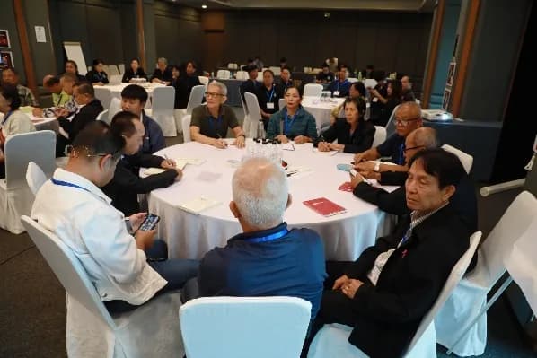
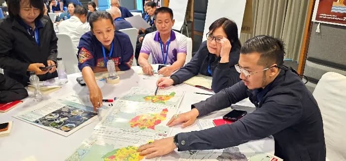
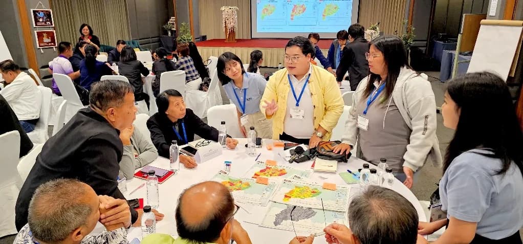
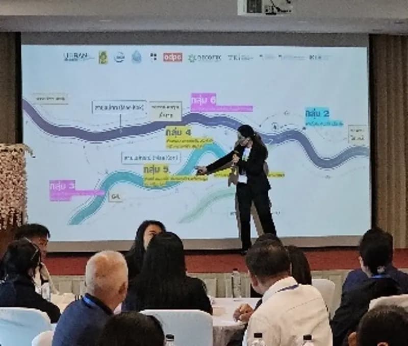
Project participants discussing climate resilience at a workshopParticipants working together in a project planning sessionProject partners reviewing maps and plans together

Governance

Project Steering Committee

81+

Regions / agencies involved in implementation

National level

Project Steering Committee

URBAN Resilience

24 agencies
Provincial level

Chiang Rai Provincial Steering Committee

Chiang Rai Province and Natural Resources and Environment Office

27 agencies

Provincial level

Surat Thani Provincial Steering Committee

Surat Thani Province and Natural Resources and Environment Office

30 agencies

Project area

Flood management, source to sea

Multi-level flood management in Chiang Rai and Surat Thani and their surrounding communities, from upstream forests to downstream floodplains.
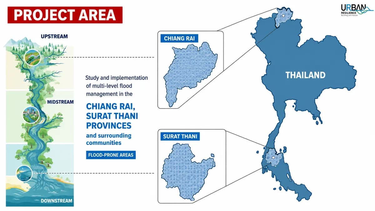
Infographic of the project area: upstream, midstream and downstream flood zones, with maps of Chiang Rai and Surat Thani provinces in Thailand

Work packages

Key outcomes

WP1

Climate Risk Assessment

Future climate impacts on selected municipalities

WP2

Demonstration of NbS

Cost-effective nature-based solutions that build urban resilience

WP3

Policy & Advocacy

NbS mainstreamed into urban, climate, DRR and land-use strategies

WP4

Capacity & Scaling

Stronger stakeholder skills and widely shared lessons

CRVA approach

From field data to risk maps

Explore the layers

Household, village and community surveys mapped in GIS across 2 municipalities and 4 sub-districts.

  • Physical
  • Environmental
  • Social
  • Economic

Flood depth

Five risk levels

Population

Density patterns

Buildings

Settlement by floors

Agriculture

Crop and rice land

Community-based DRM

Planning with communities

Scientific risk analysis combined with community planning and experiential learning.
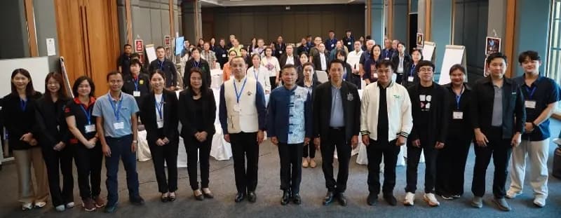
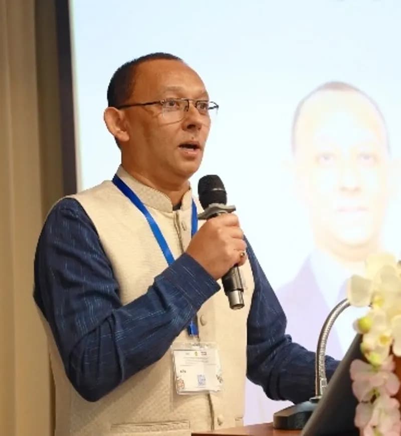
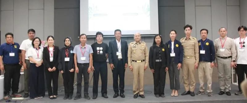
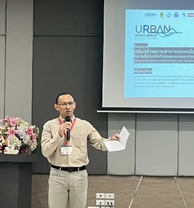
Participants and facilitators gathered for a group photo at the Chiang Rai CBDRM workshopA facilitator presenting a river flood map to the Chiang Rai workshop audienceA speaker addressing the Chiang Rai CBDRM workshop

CBDRM workshop, Chiang Rai

March 17-19, 2026

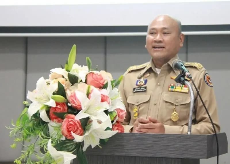
Participants and officials gathered for a group photo at the Surat Thani CBDRM workshopA provincial official speaking at the Surat Thani CBDRM workshopA project speaker presenting the URBAN Resilience project in Surat Thani

CBDRM workshop, Surat Thani

March 23-25, 2026

Expected outcomes

  • CRVA findings integrated into CBDRM and local planning
  • Local authorities and communities better equipped to manage climate risks
  • Stronger community participation and inclusion
  • Improved climate-resilient urban planning and preparedness
  • More resilient, nature-based, sustainable cities
URBAN Resilience
IUCN
Department of Water Resources
ADPC
Urban Design and Development Center
RECOFTC
Thailand Environment Institute
International Climate Initiative

This portal was developed and maintained by ADPC under the URBAN project. adpc.net